
The Fourth Topio Testimonial Is Out: This Time With Sinergise!
15—Jul—2022, by Intza Balenciaga
Meet Sabina Dolenc, Marketing Manager at Sinergise.
Ms Sabina Dolenc graduated from the Marketing Communication and Public Relations programme at the Faculty of Social Sciences in 2000 and completed her Master’s degree in Information Systems and Decision Making at the Faculty of Computer and Information Science in 2016, both at the University of Ljubljana. During her career, she has focused on marketing, advertising and market research, business development and finance. Since 2016, she has been working as a marketing manager at Sinergise Ltd ¬ a GIS IT company based in Ljubljana, Slovenia, which develops enterprise solutions for geospatial data management, especially to support processes in land administration and agriculture. Ms. Kathrin Lenvain, Business Development at AZO, and Intza Balenciaga, Project Manager at AZO, spoke with her about the potential of Topio from a data provider perspective. Don’t miss the interview below, hot off the press!
-
One of Europe’s major marketplaces for Earth observation data in Europe is called Sentinel Hub – made and run by Sinergise. How did you come up with the idea?
Sinergise ventured into the field of Earth observation more or less by accident in 2015. We quickly realised that the existing technology was not suitable for the volumes generated by Copernicus and other missions, drastically affecting the added value that could have been generated. A team of overconfident and ambitious developers felt that they could “do better” and that there was a business opportunity out there. Early on, the European Space Agency recognised the huge potential behind Sentinel Hub and its novel way of processing Earth observation data in the cloud, making PB of satellite data easily accessible to everyone. And, in 2016, Sentinel Hub was awarded the Copernicus Masters Award.
-
Can you tell us a bit more about this revolutionary solution for archiving, processing, and distributing satellite data?
Today, Sentinel Hub is one of the most important services for hundreds of application developers, processing half a billion requests every month and providing access to more than 50 PB of data to hundreds of thousands of end users. Our free web tool EO Browser is used to explore deforestation, military activity, natural disasters or simply to observe the beauty of our planet. It uses the AWS cloud and innovative methods to efficiently process and distribute data in seconds. It can be integrated into any mapping or web application and enables user-friendly and cost-effective use of data. Application developers can therefore focus on value-added services and end-user applications.
-
What kind of data do you offer?
The available data focuses on the Sentinel satellites, but also supports other data collections such as Landsat, Envisat, Copernicus services, commercial collections and more. For the easiest way to explore all available data collections, we recommend EO Browser, which will also be integrated into Topio.Market. It allows you to visualise satellite data from numerous satellites and data collections instantly. The process in the background takes care of selecting suitable scenes, downloading, and processing the data and creating the mosaic.
-
Since 2020, you have been part of a major consortium developing the Topio Marketplace. What is it and how does it complement your existing marketplace and activities?
Topio is a new European marketplace designed to provide all geospatial data stakeholders with an overview of current data and service providers. It will allow us to expand our sales opportunities and combine our service with other complementary services and data available on the market. It will also make it easier for buyers to find suitable geodata.
-
What is your vision and expectation for Topio? How will it help to improve data sharing?
The times when the geodata market was reserved only for large companies have been over for some time. More and more SMEs, acting as resellers, data providers or end users, are entering the geodata market on a daily basis. No matter which side of the geodata market they swim on, Topio aims to open the doors for SMEs to become known and for leading companies to become accessible.
-
From your strong cooperation with African partners, is there also demand for an international marketplace beyond Europe?
As a company that provides a global service to clients from all over the world, we can see that the demand for geospatial data knows no boundaries. It is fair to say that Topio’s potential to reach beyond European borders is there and should not be limited in this way. We are looking forward to seeing its progress and contributing to future developments of the platform.
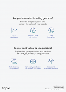

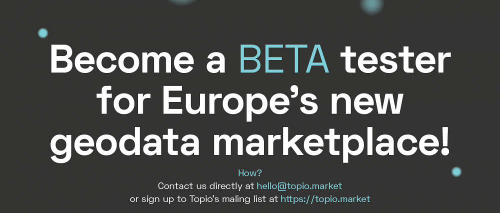
Did you enjoy this interview? Anyone interested in Topio can test and explore Europe’s new geospatial data marketplace to trade, purchase and use geospatial data whenever you want and wherever you are! Contact us directly at hello@topio.market or/and sign up to the Topio mailing list to get the latest news as soon as the public beta phase starts!


